Includes a waterproof zip-lock wallet.
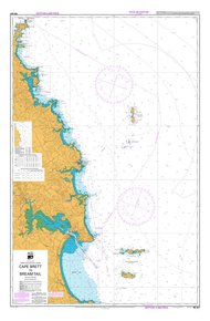
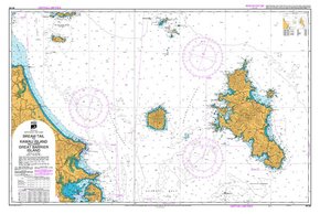
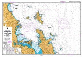
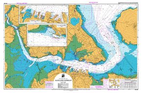
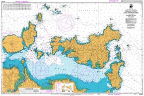
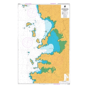
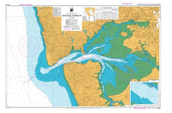
Scale: 1:480000. New Zealand Chart. 28x36cm when folded in wallet.
Charts created by LINZ Hydrographic Services, (Land Information New Zealand), the authoritative provider of New Zealand Hydrographic Services and the main source of LINZ Hydrographic information for mariners.
The majority of New Zealand charts now show depths and heights in metres. Mariners should ensure that the charts and publications onboard their vessels are adequate for the voyage and are up to date according to this catalogue and Notices to Mariners. Visit the LINZ website for up to date Notices to Mariners.
Sample Picture Sourced from Land Information New Zealand data. Crown Copyright Reserved. NOT TO BE USED FOR NAVIGATION.
Smart VIP Price Promise
Our prices are very Smart at Smart Marine! Our Smart VIP Membership and committment to great deals makes sure of that, but if you find a lower price, tell us- we will match it!*

Price Promise Terms & Conditions
- Excludes limited time specials, clearances, non-stocked products, overseas websites, price comparison websites and eBay/TradeMe.
- Applies to identical products, in stock in NZ with pricing valid at time of price match request and purchase, with evidence supplied.
- Excluded Products: clearance, run-out, distress, damaged/soiled, parallel imported, non-stocks, trade quotes, commercial quantities, credit account holders, insurance claims, services, typos, overseas websites, price comparison websites, auction websites.
- Free product, offers, sales and promotions cannot be redeemed with price matches.
- The price match applies to the total cost to buy including shipping, taxes and fees.
- Approved Price Promise Matches and purchases can only be redeemed with our store crew. Please contact your closest store with stock.
- Short term finance may not be available with some price matched purchases. Please enquire.